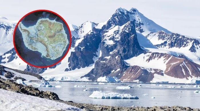
Scientists have discovered the most detailed map of the incredibly diverse landscape hidden beneath the Antarctic ice sheet.
This historical map, published in the journal Sciencerevealing a world of mountain ranges, canyons and over 30,000 previously unknown hills and valleys.
Until recently, the continent’s subglacial topography was a blank slate, with information about it less accessible than maps of the surface of the planet Mars.
Using a technique called Ice Flow Perturbation Analysis, the researchers generated this new topographic information from high-resolution satellite images to infer the shape of the underlying topography.
Co-author Roobert Bingham, a glaciologist at the University of Edinburgh, said: “Having the most accurate map of the Antarctic bedform is crucial.”
The data suggest a landscape of astonishing diversity, such as a steep-sided valley that stretches nearly 250 miles in the Maud Supraglacial Basin.
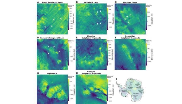
In certain areas, it may resemble the pointed Alps rather than rounded hills—a crucial difference when modeling iceberg melting.
It is expected to contribute significantly to computer modeling of the response of the Antarctic ice sheet to climate change.
It is important to know that the Antarctic ice sheet holds about 70% of the world’s fresh water.
The map not only reveals Earth’s last unexplored frontier, but also provides the fundamental truth needed to understand its future.