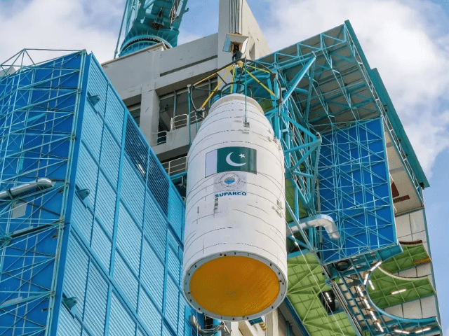
Pakistan’s Space and Upper Atmosphere Research Commission’s (SUPARCO) first fully indigenous electro-optical (EO-1) satellite was successfully launched into space from China on Friday.
The satellite was launched from China’s Jiuquan Satellite Launch Center, with the event broadcast live from SUPARCO’s Karachi complex, allowing Pakistanis to watch the satellite’s journey into space.
The EO-1 satellite will play a key role in monitoring environmental changes, tracking natural disasters and providing vital data on crop health, soil moisture and weather patterns, ultimately helping to increase agricultural productivity.
The official launch ceremony of the Pakistan Space and Upper Atmosphere Research Commission (SUPARCO) Complex in Karachi took place earlier today.
According to Zain Bukhari, an expert at SUPARCO, the EO-1 satellite is a historic achievement for Pakistan. “EO-1 is equipped with a high-resolution camera that will take detailed images of the Earth, offering several applications.
It is the first satellite to be fully designed and manufactured locally by SUPARCO engineers, demonstrating the nation’s ability to gain confidence in space technology,” Bukhari told the Associated Press of Pakistan earlier this week.
Bukhari further noted that the satellite has undergone rigorous tests to ensure its operational readiness.
He emphasized that the launch represents a proud moment for the entire nation.
The EO-1 satellite is expected to deliver important data across several sectors. It can play a key role in disaster management, especially by monitoring real-time data during floods and earthquakes, allowing authorities to assess damage more effectively.
In addition, the satellite’s capabilities will support precision agriculture, help monitor crops, assess irrigation needs, predict yields and contribute to food security initiatives.
Urban development and planning will also benefit from EO-1, with its ability to track infrastructure growth, manage urban sprawl and assist in urban and regional planning. Environmental monitoring is another key area where the satellite will provide valuable insight and offer updates on floods, landslides, deforestation and soil erosion.
In addition, the satellite will help with the extraction and conservation of natural resources, including the monitoring of minerals, oil and gas fields, glaciers and water resources.
This launch highlights Pakistan’s growing space capability and its efforts to expand its role in space technology, marking a significant step towards greater self-reliance in the space.