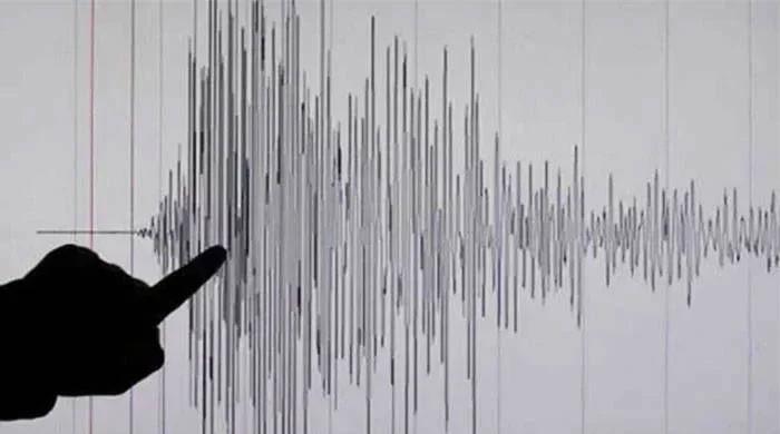
A strong 6.9 size earthquake has knocked out the coast of Papua New Guinea, according to the Geological Survey of the United States (USGS).
Shakes in the earthquake were felt early Saturday morning around 7 p.m. 06:04 local time, approx. 175 kilometers southeast of Kimbe, in western New Britain Province.
The earthquake occurred at a depth of 49 kilometers below the surface.
Experts say the shock is likely to have been widely marked in nearby areas, with the potential for easy to moderate damage. Residents of Kimbe, home to almost 19,000 people, may have experienced a noticeable shake.
A tsunami warning has been issued by the US Tsunami Warning Center. Authorities closely monitor the situation.
There have been different assessments of the strength of the earthquake. The European Mediterranean Seismological Center (EMSC) reported it as magnitude 7.1, while France’s national seismic network registered it on 6.6. German and American scientific institutions also reported on similar events with slightly different sizes.
Such differences are not unusual in the early hours of an earthquake, as seismologists continue to analyze the data.
No immediate reports of damage or major injury have been confirmed, but updates are expected when more details come in.
The situation is still developing and the authorities are calling on people in coastal areas to remain aware and follow official guidance.
– Further input from Reuters and AFP.


